PROTECT | RESTORE | ENJOY
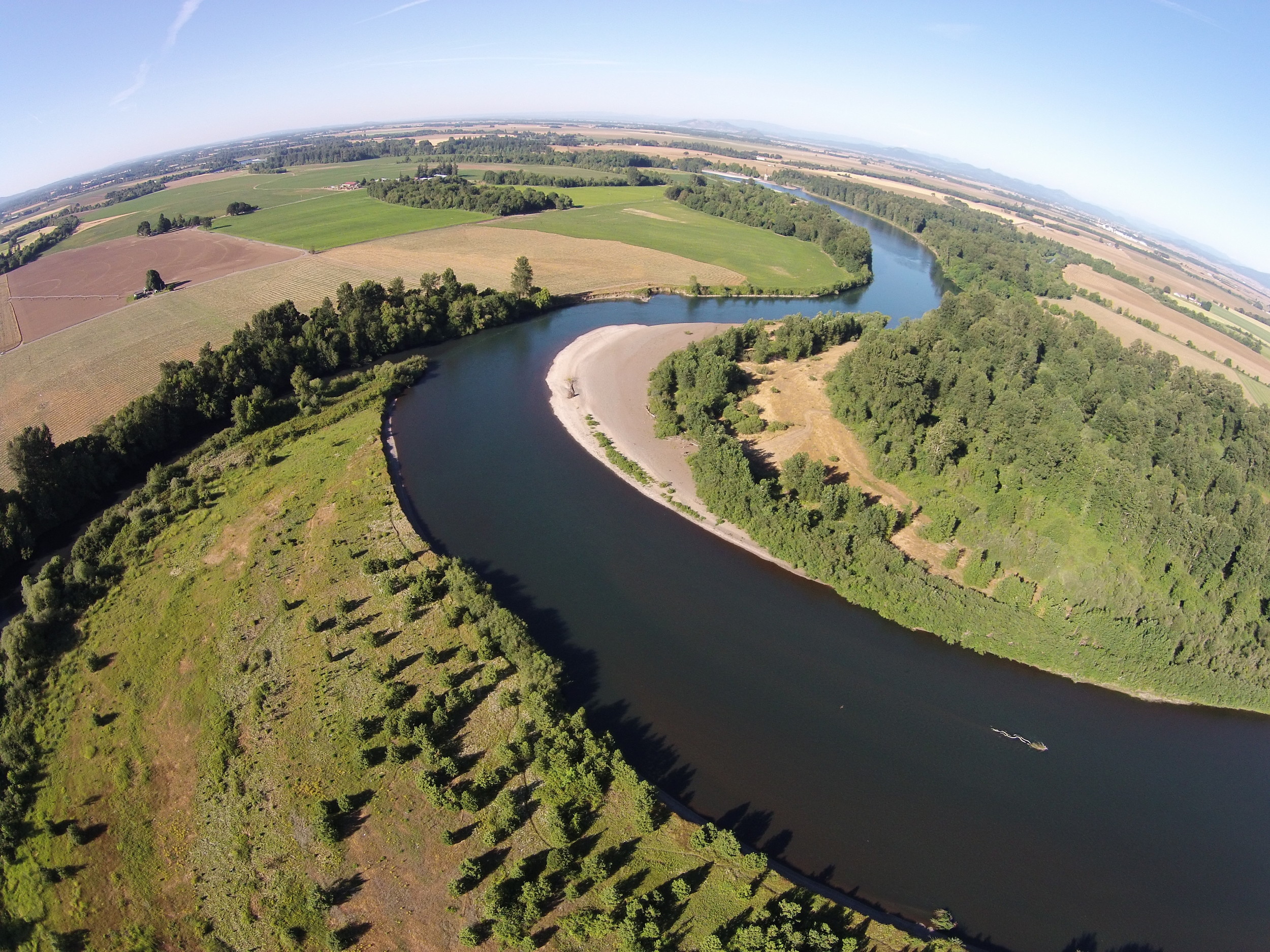
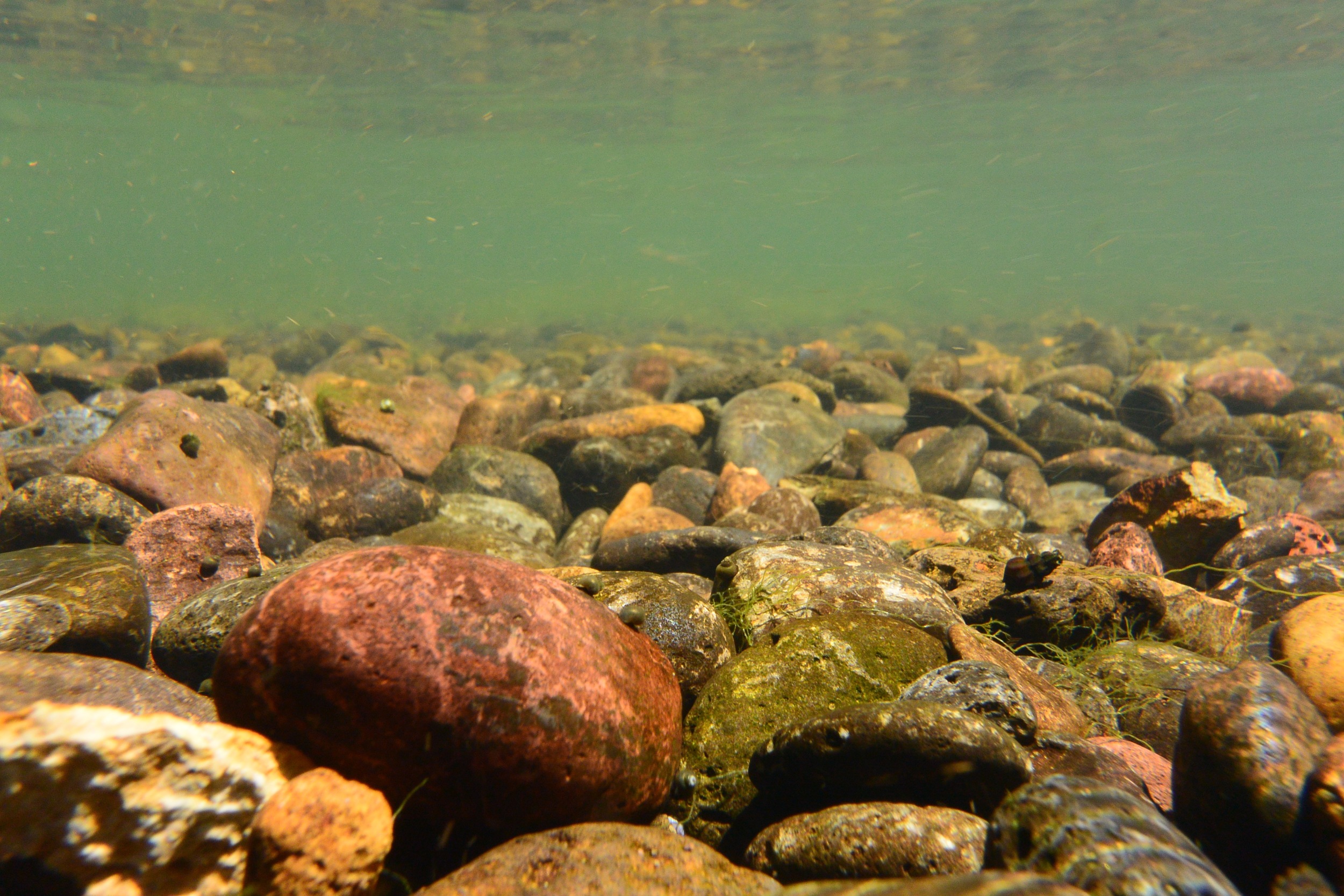
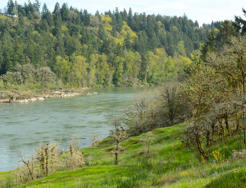
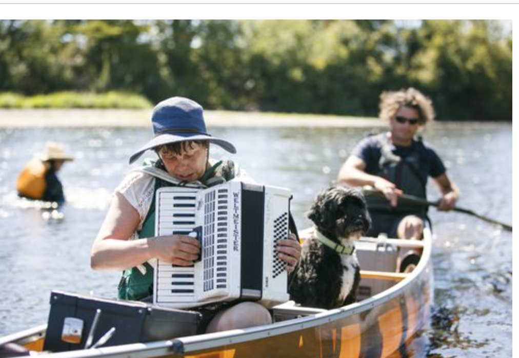
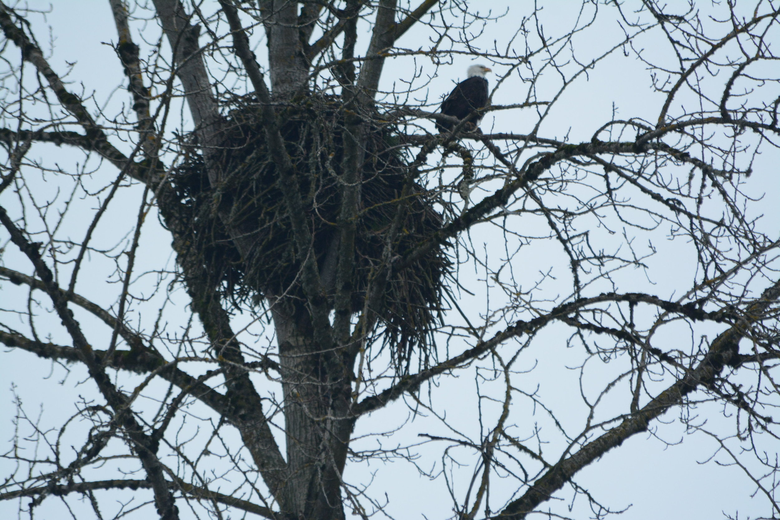
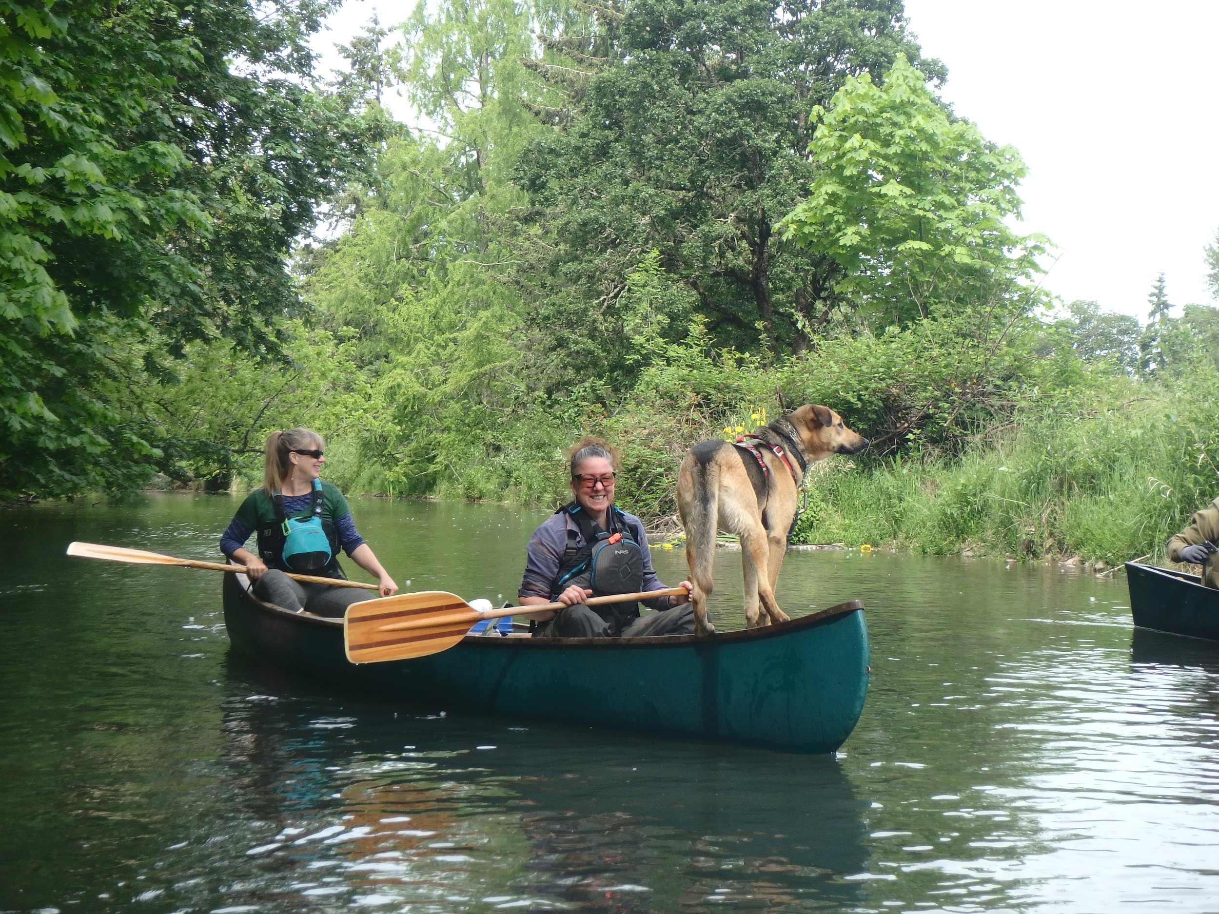
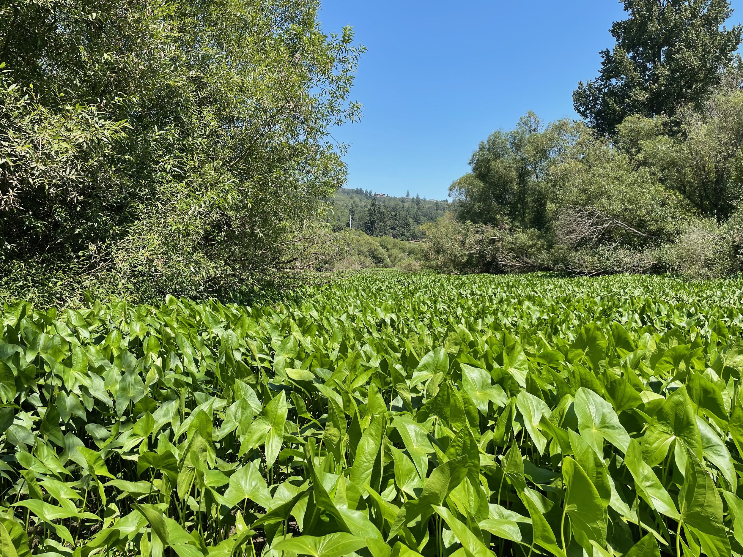
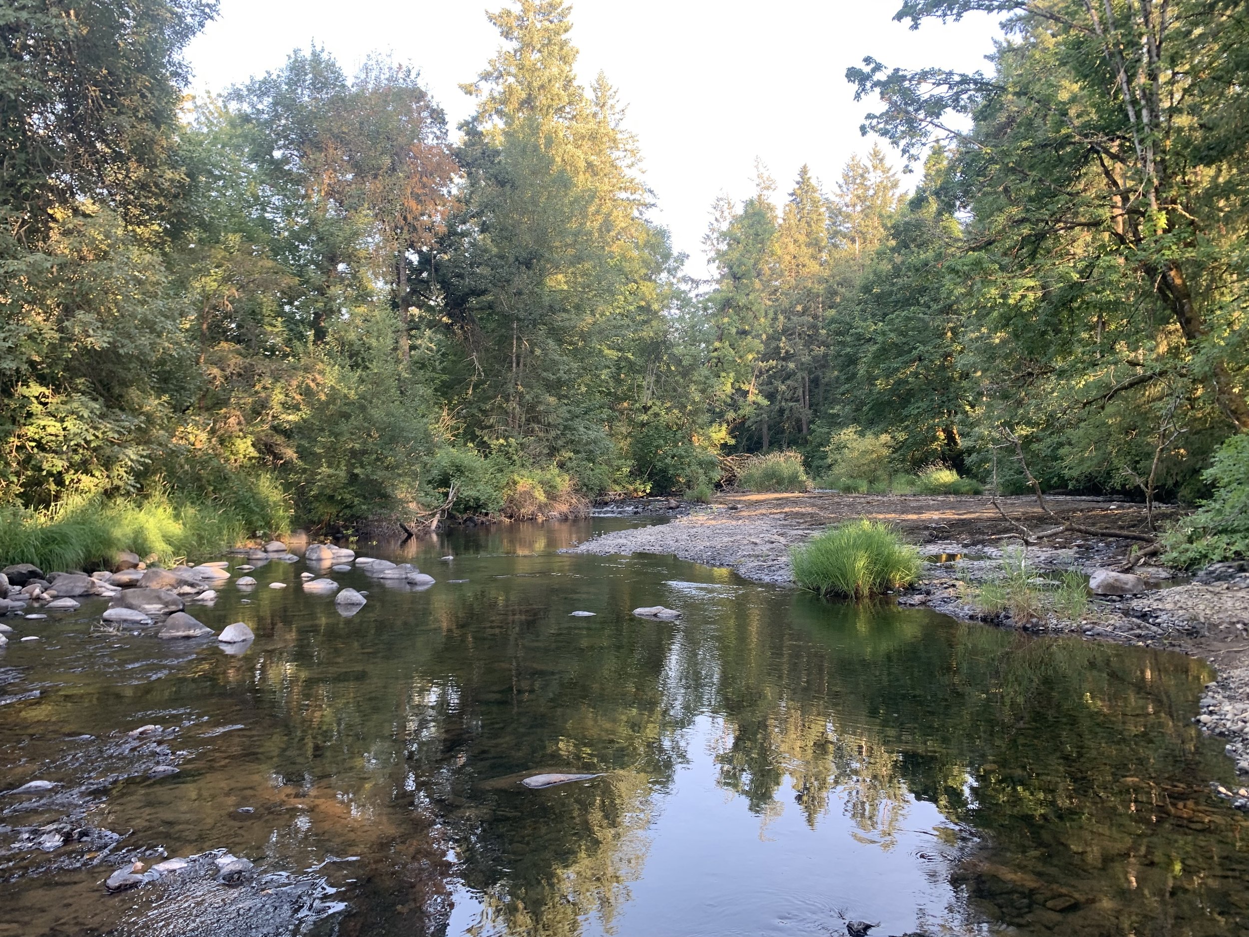
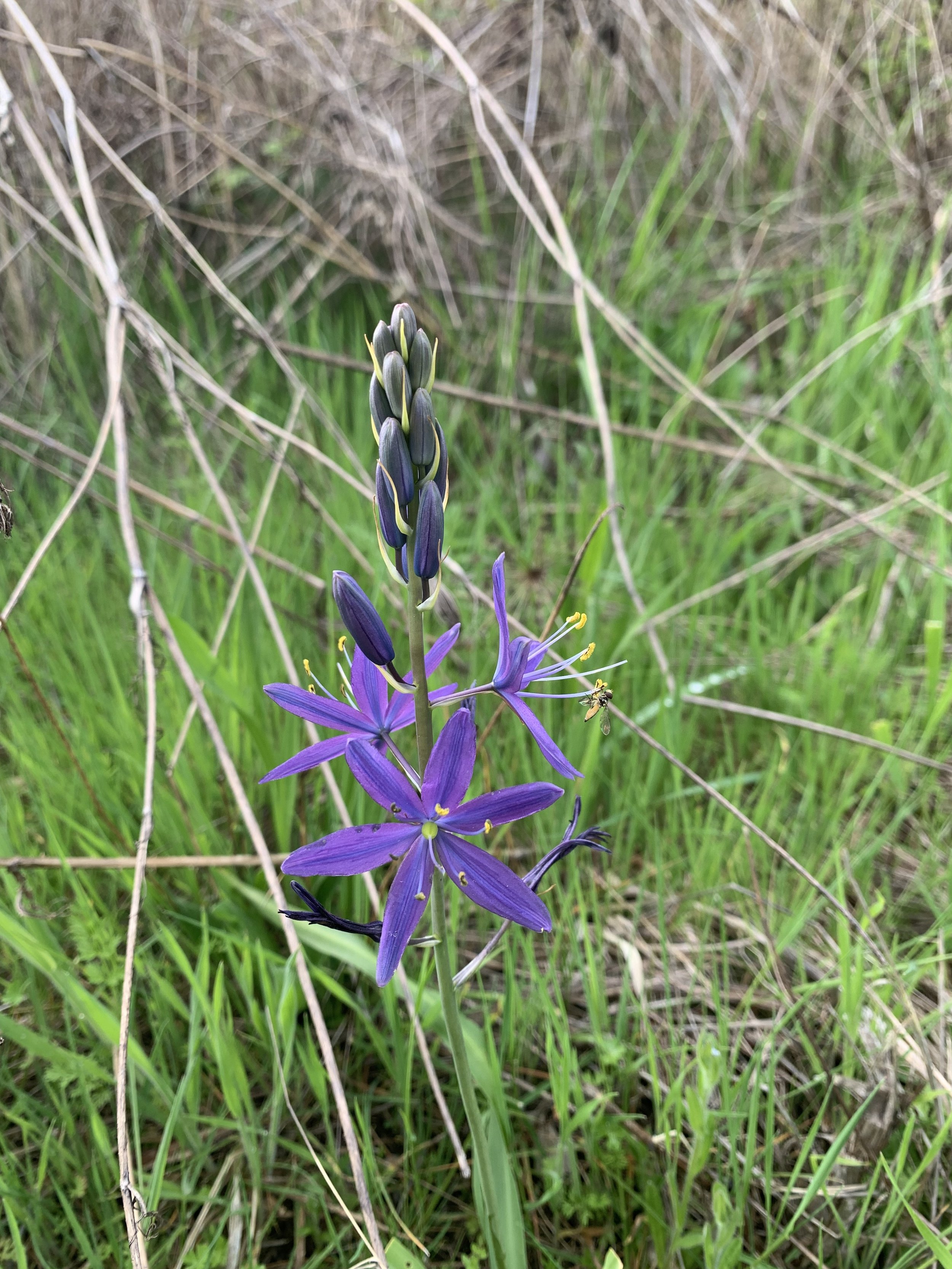
We believe a river with excellent water quality, abundant natural habitat, safe for fishing and recreation is a basic public right.
This is YOUR river!
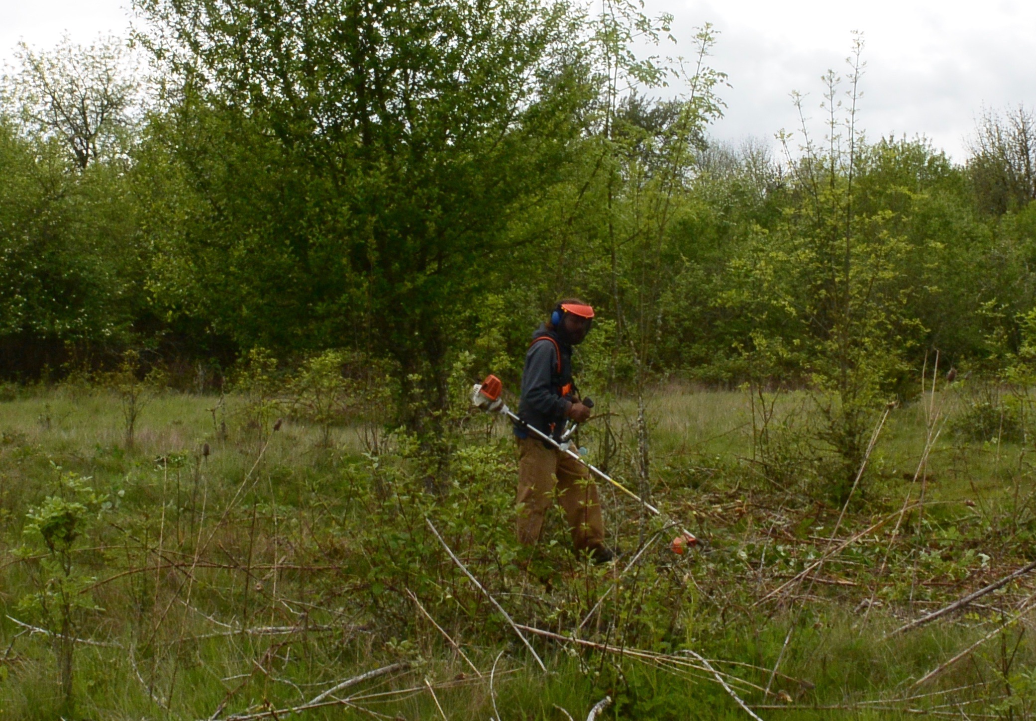
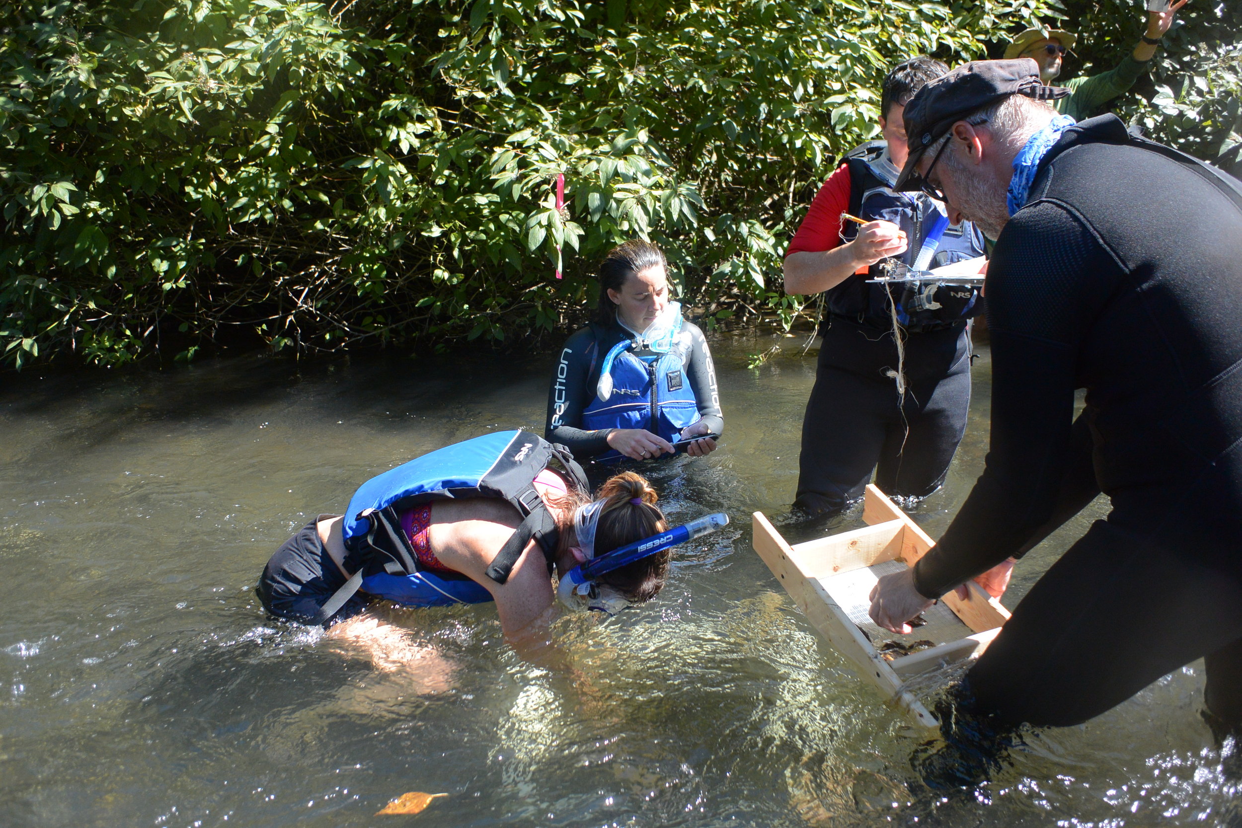
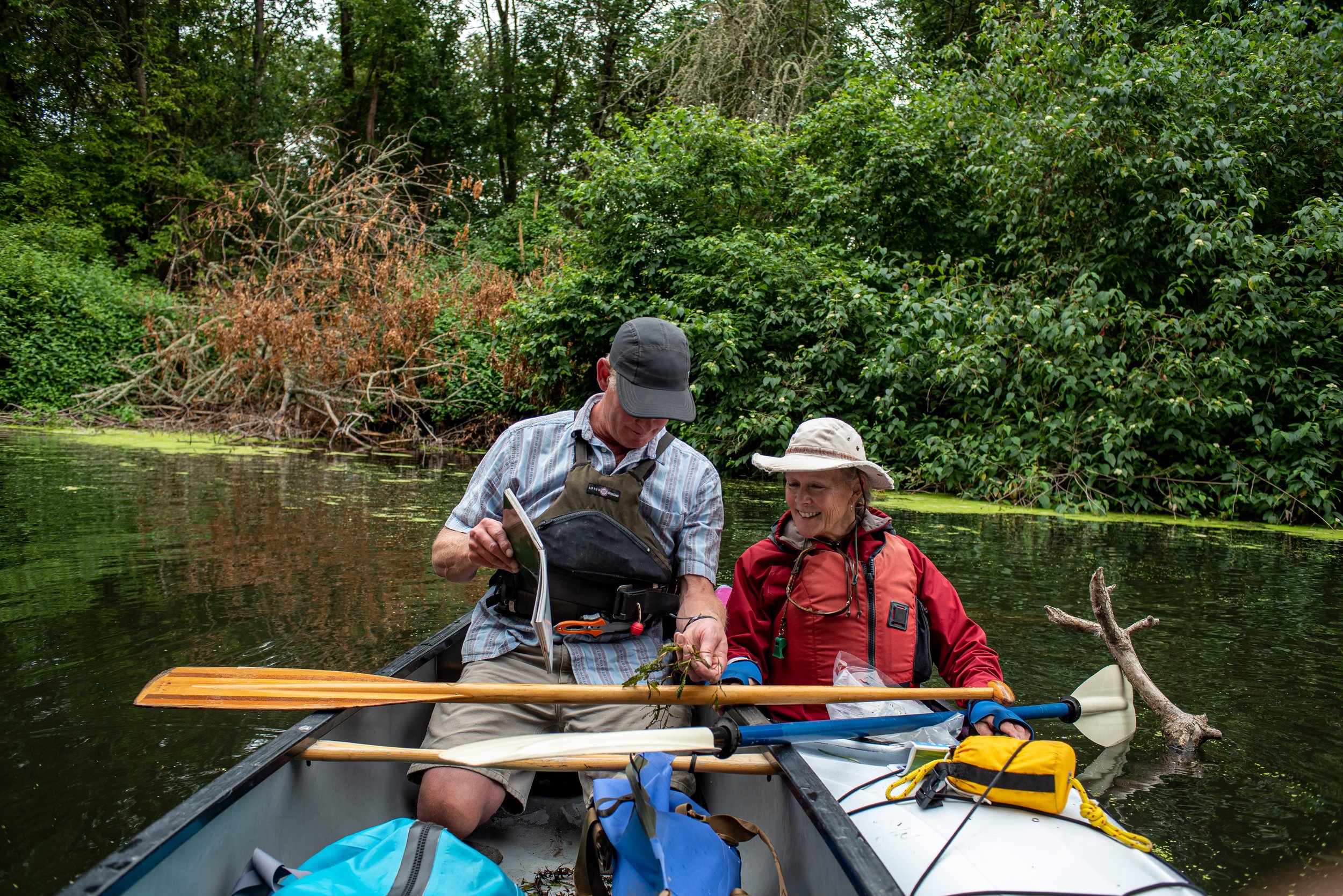
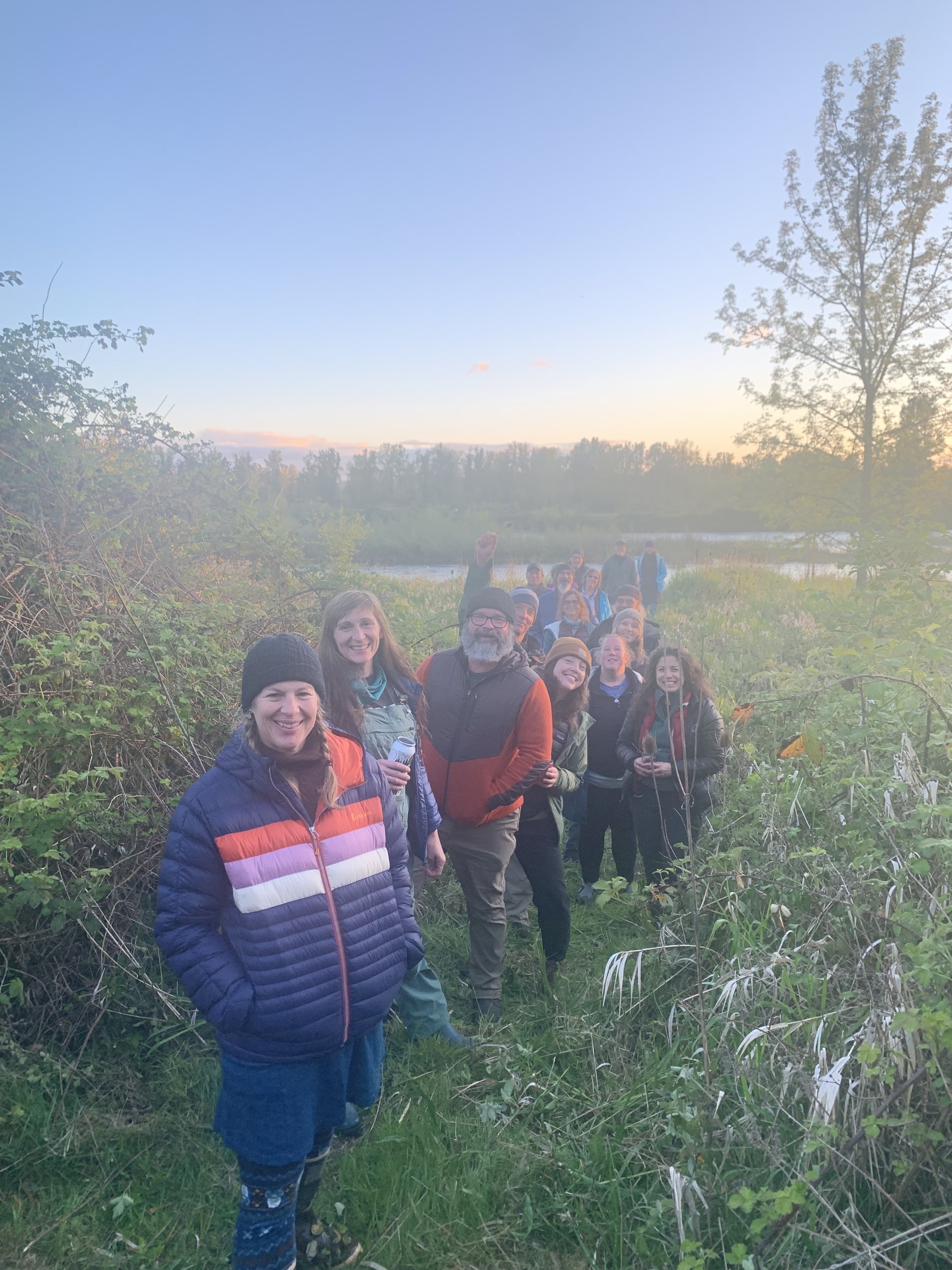
For 27 years Willamette Riverkeeper has proudly served as the eyes, ears, and voice of the Willamette River. Our programs, together with your support, enable us to effectively generate positive change.
We Advocate, Educate, and Investigate to hold the line for river health.

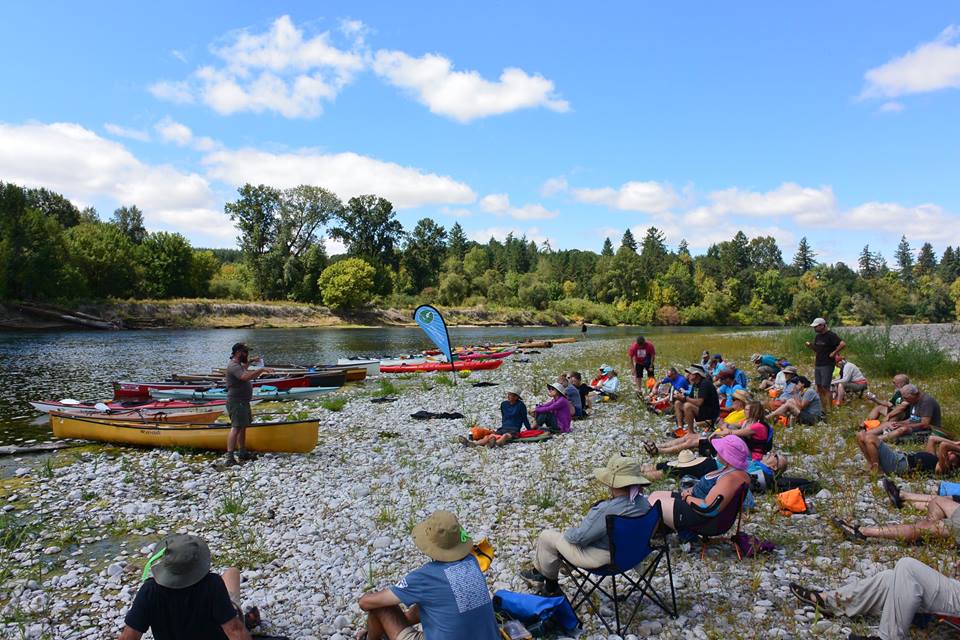
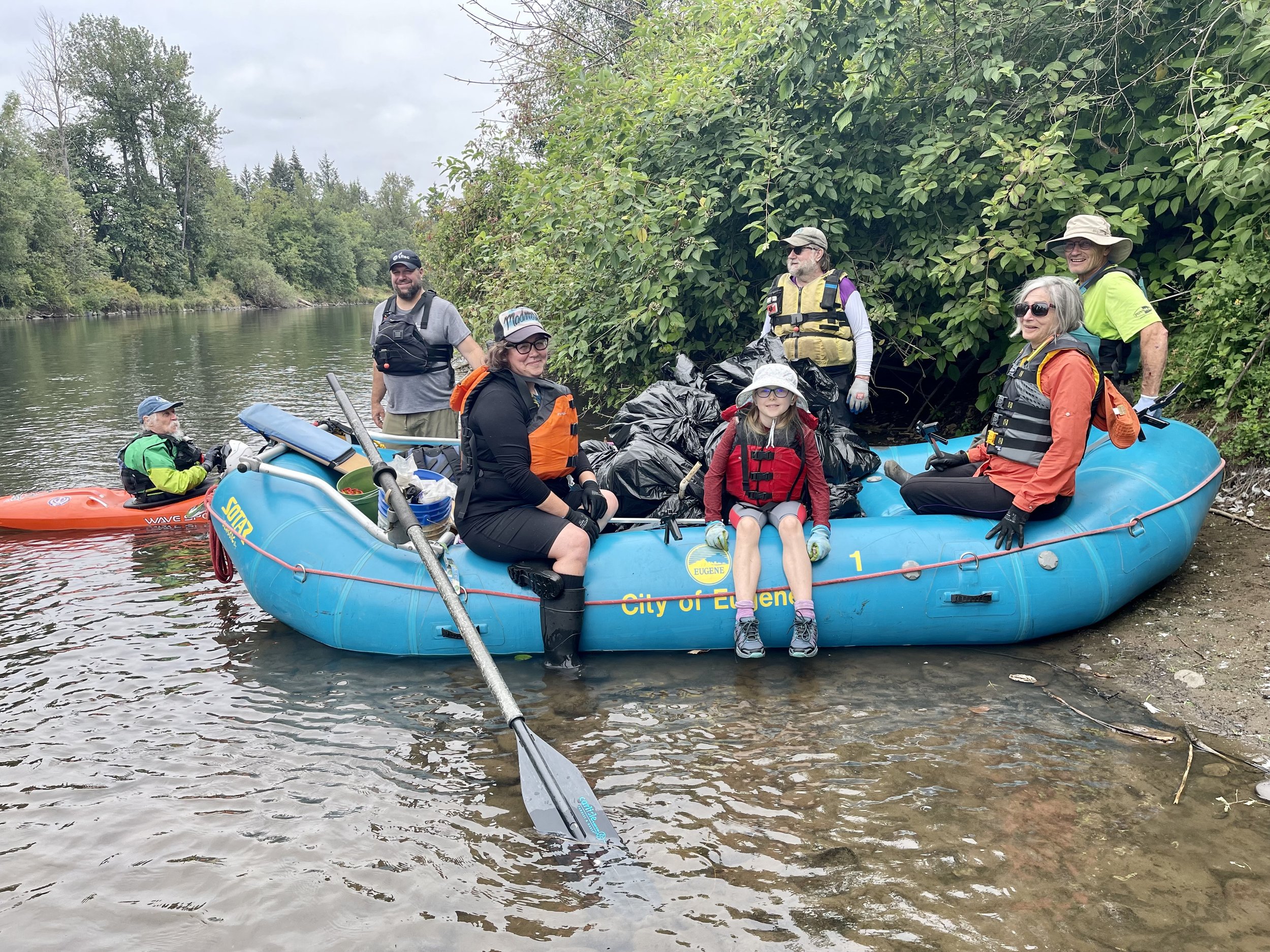
REGISTER FOR YOUR FAVORITE EUGENE - SPRINGFIELD LOCATION HERE!
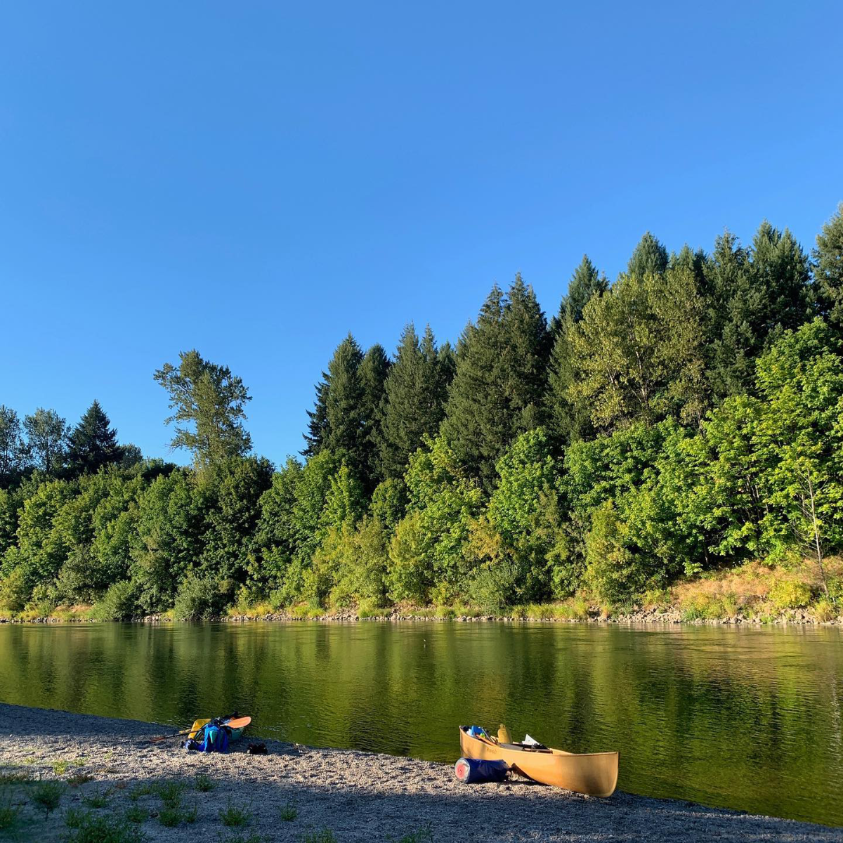
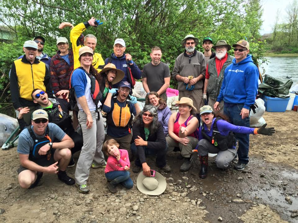
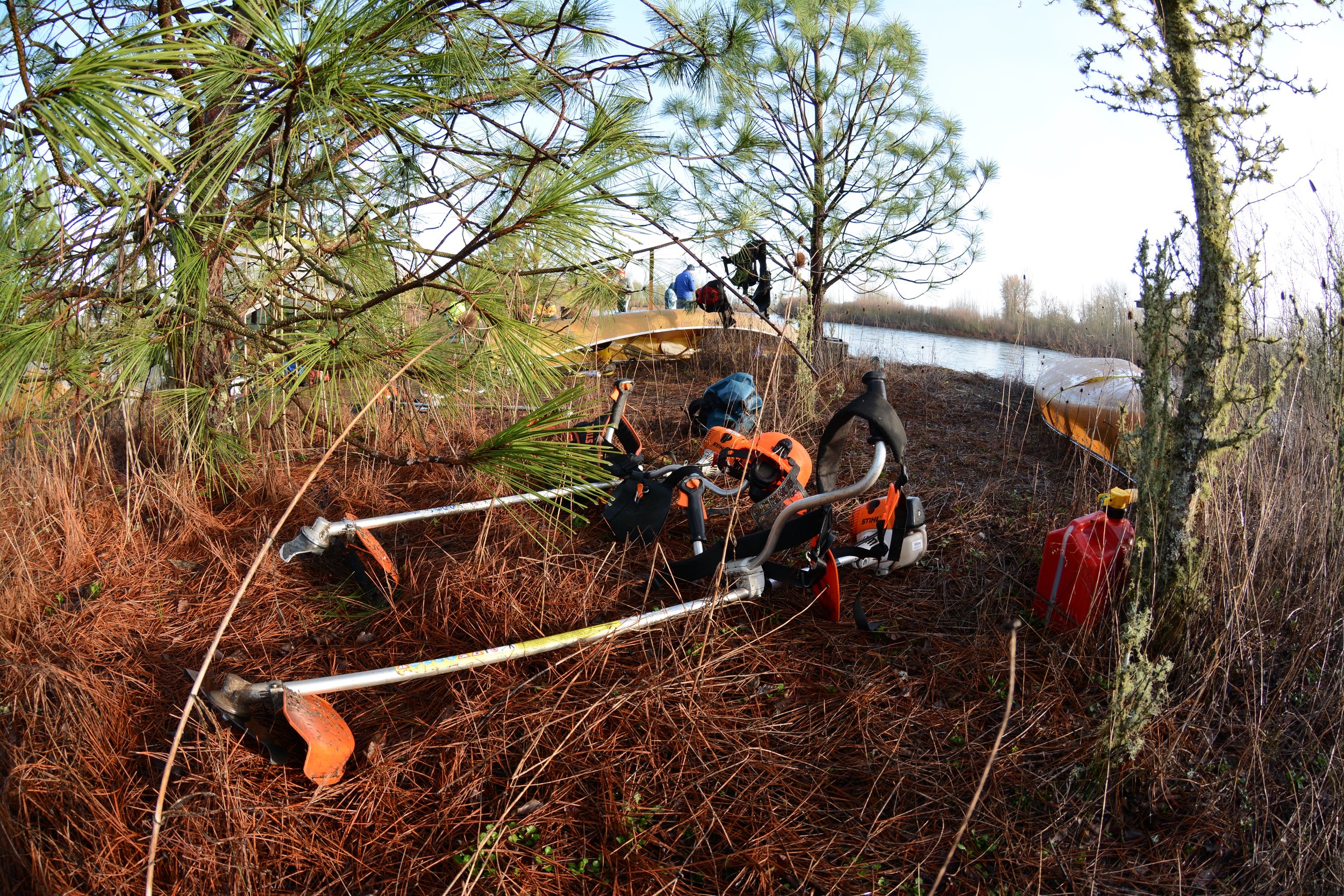
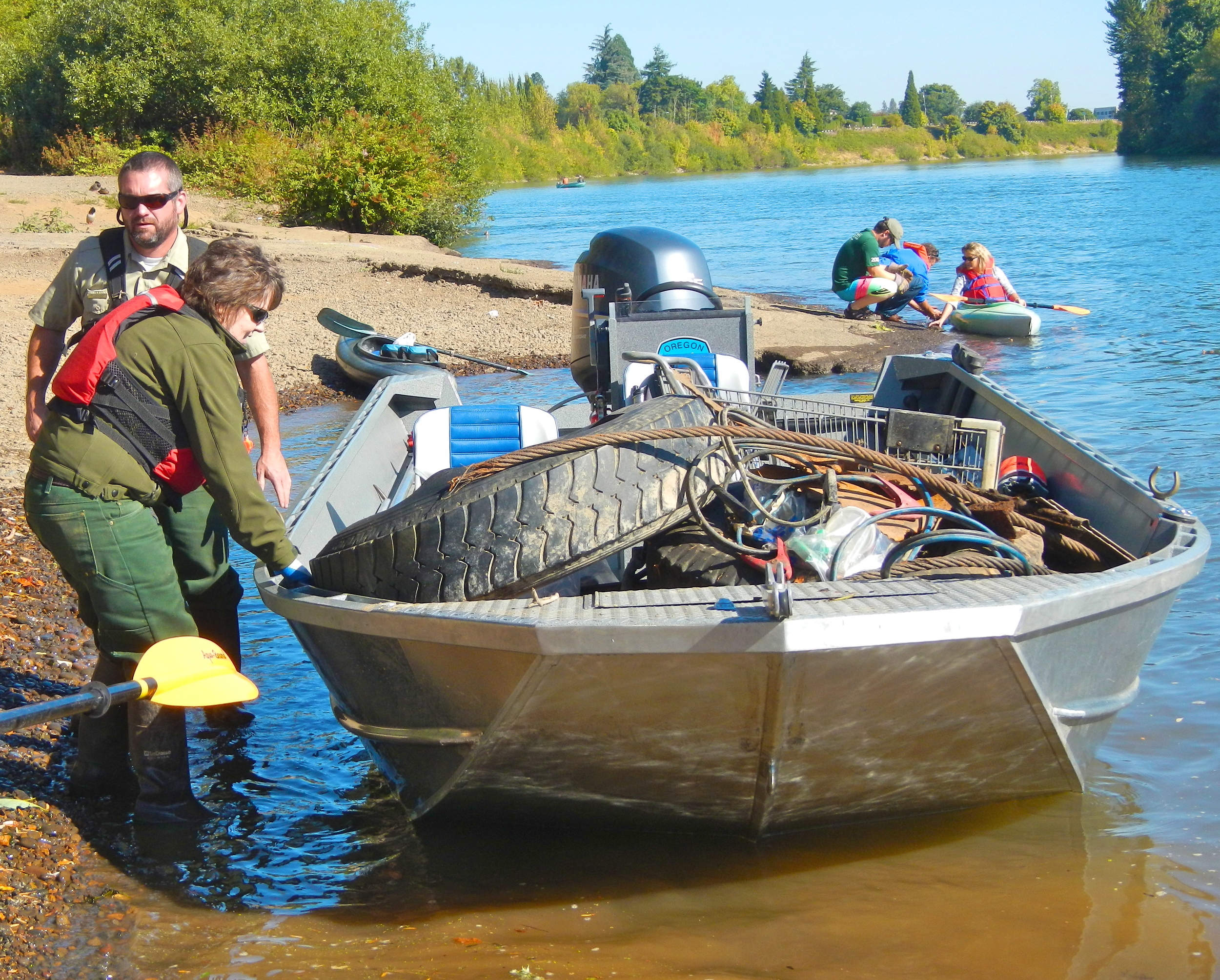
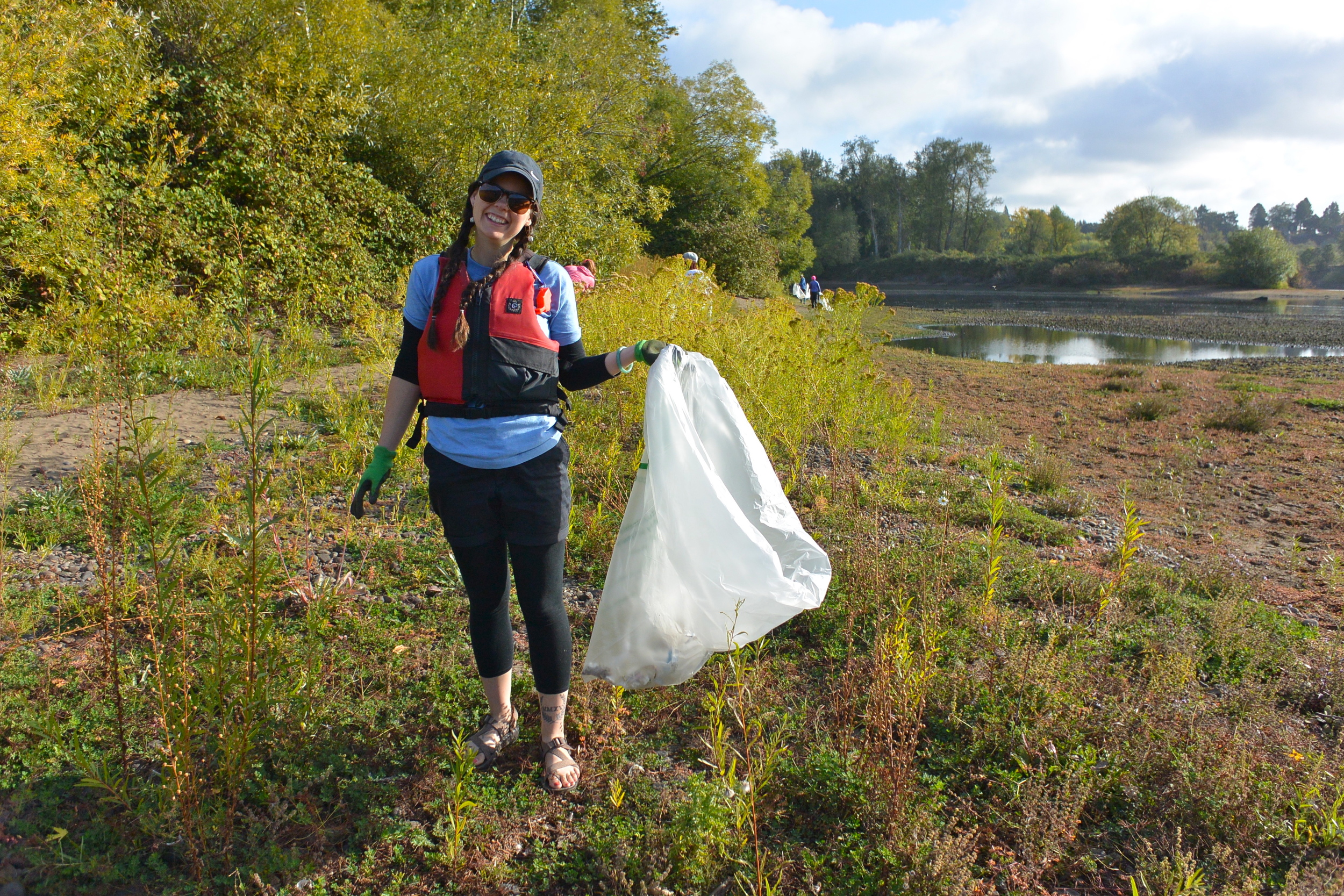
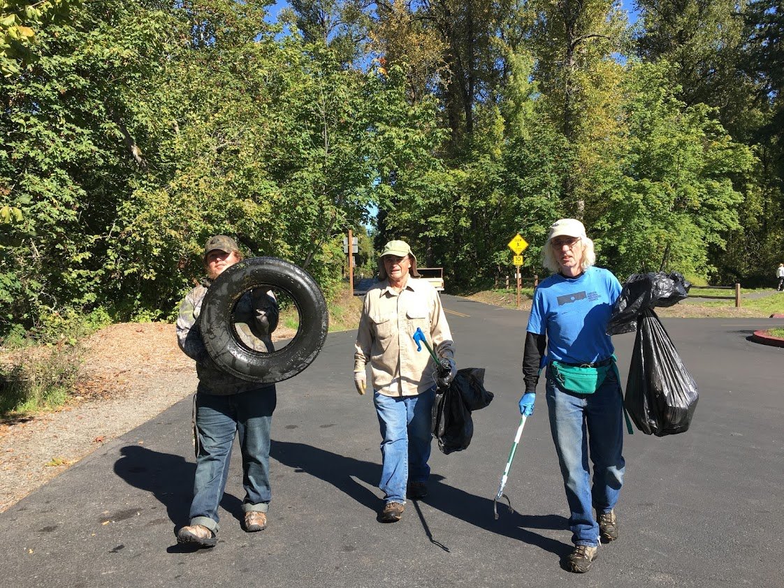
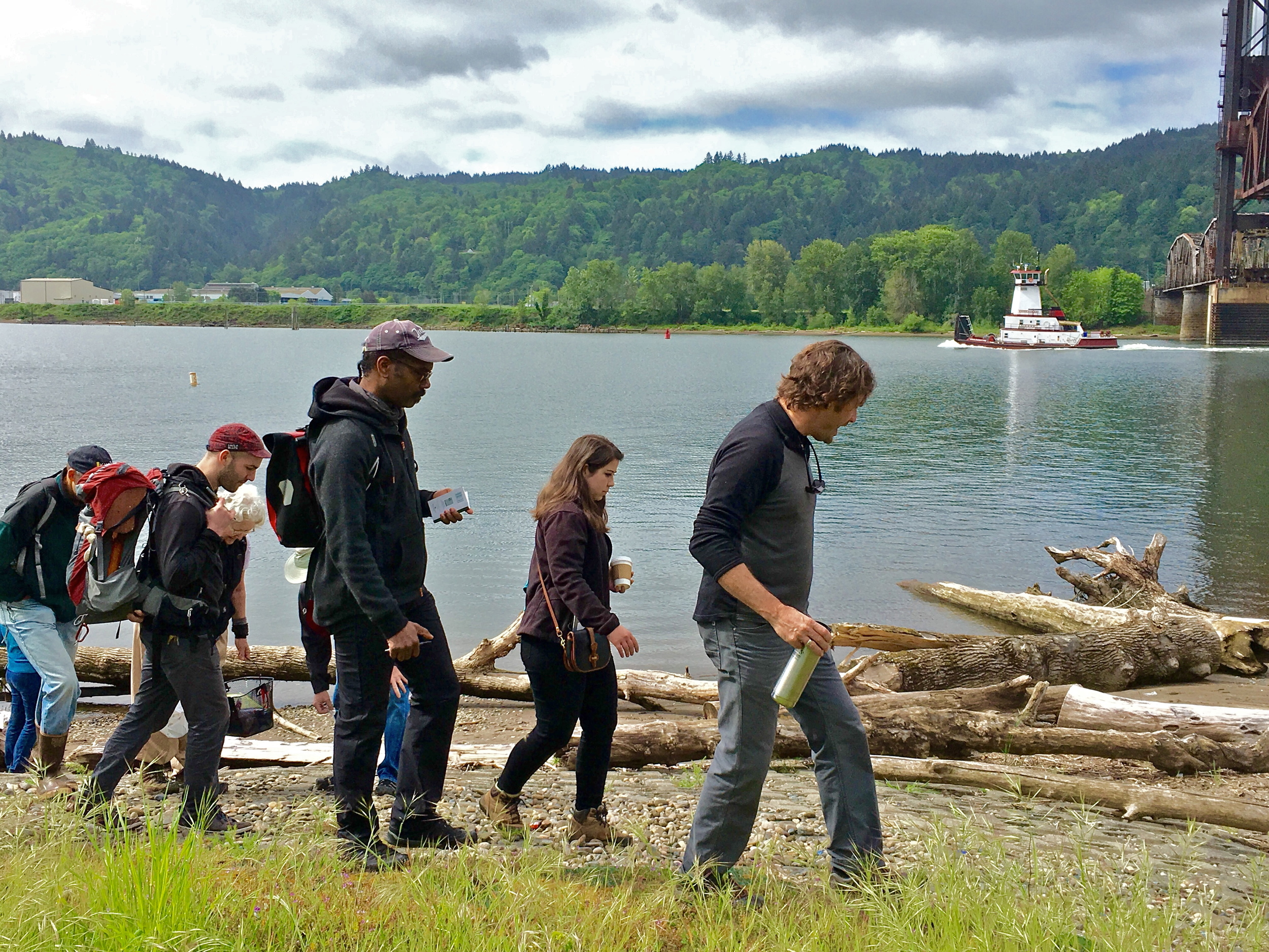
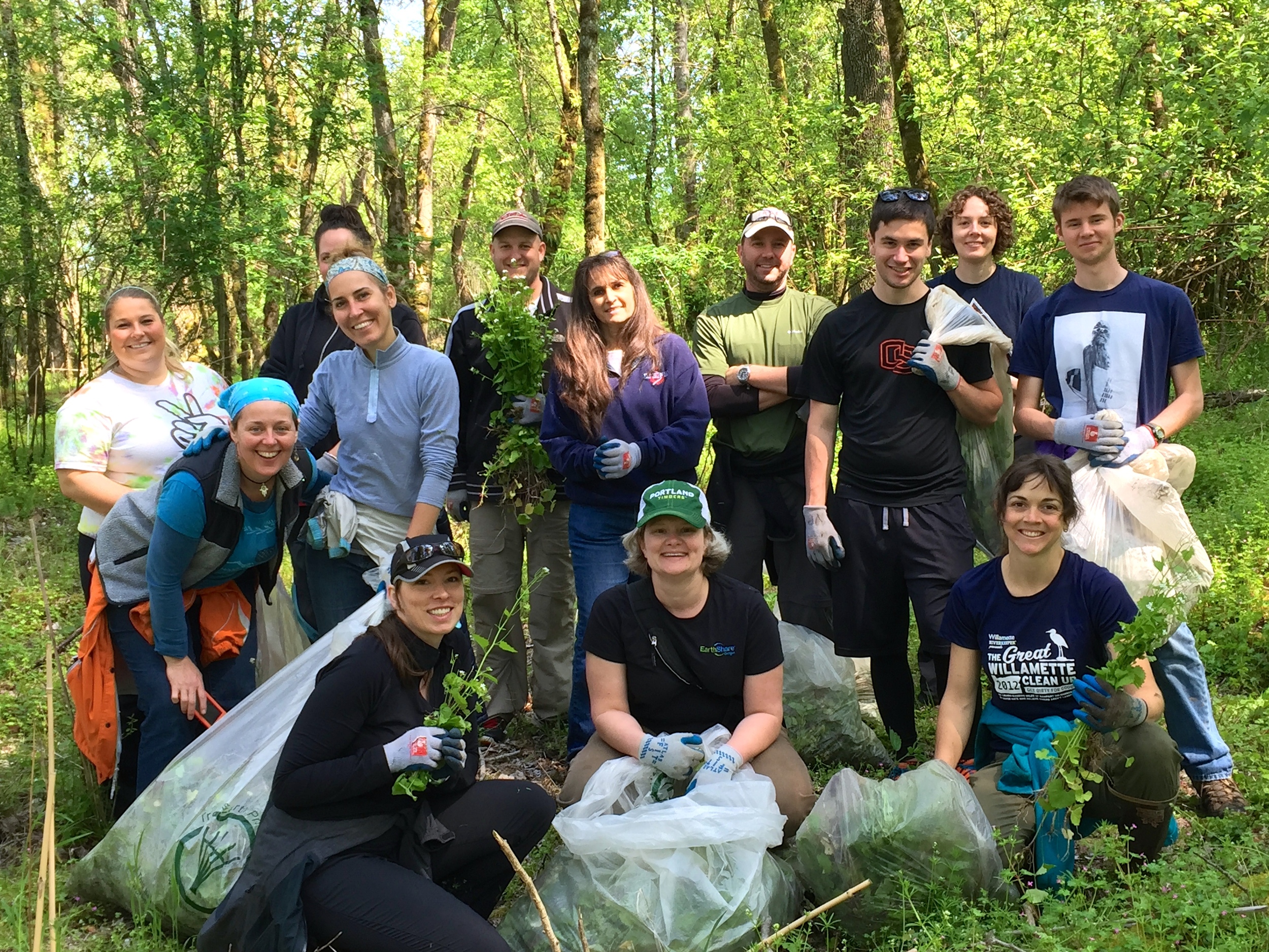
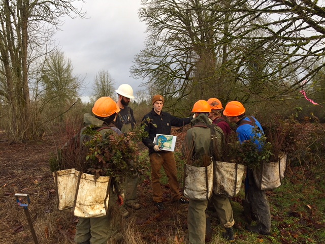
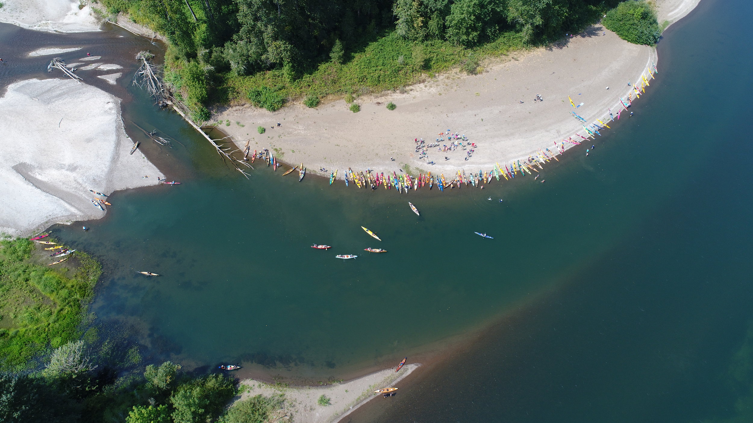
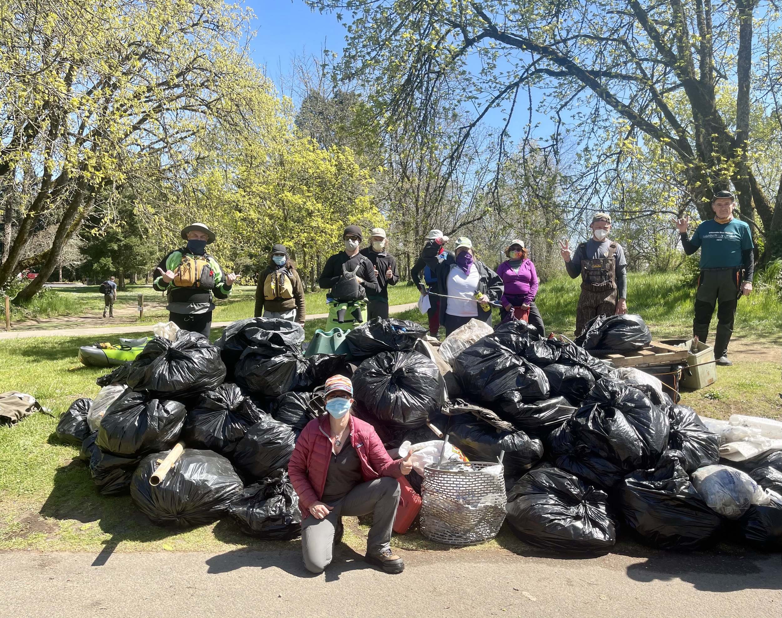
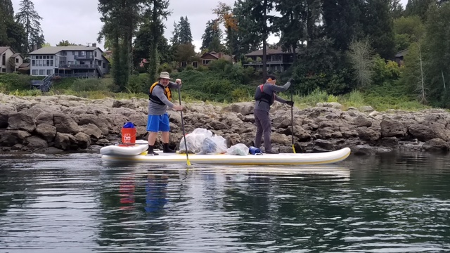
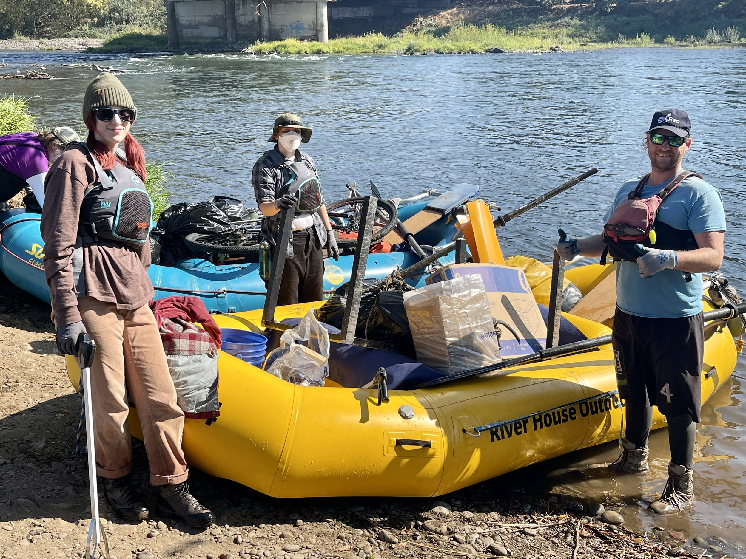
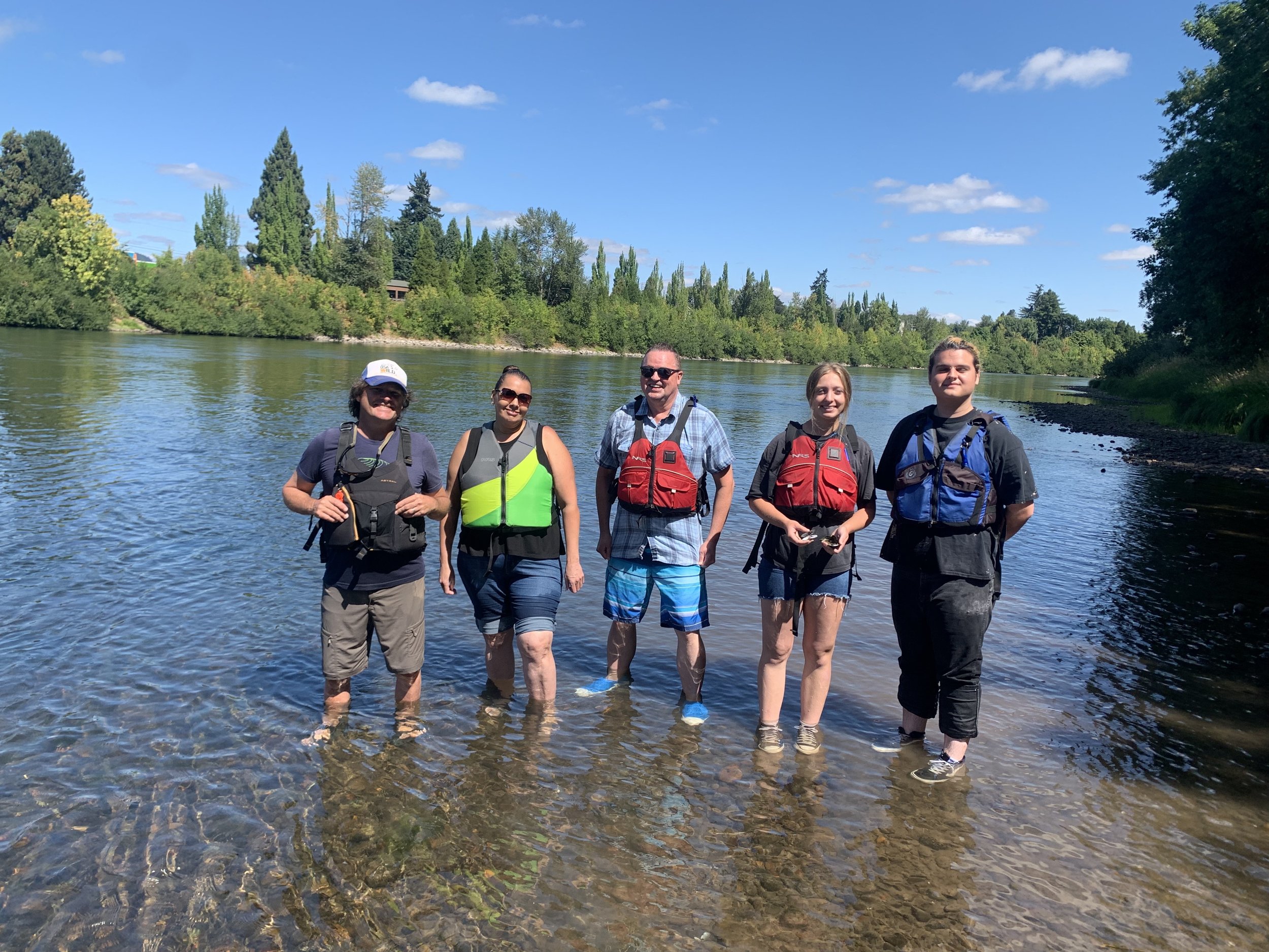
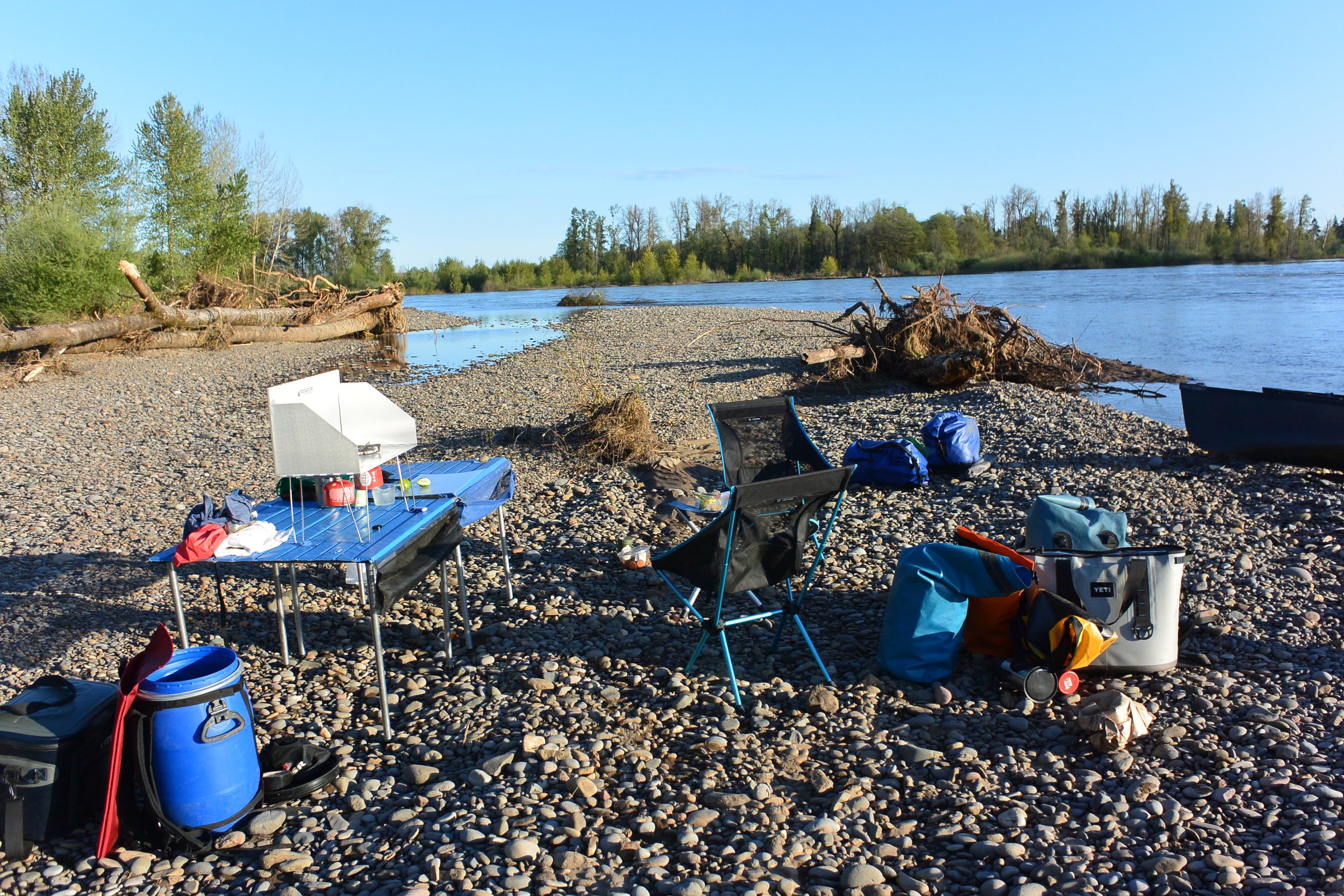
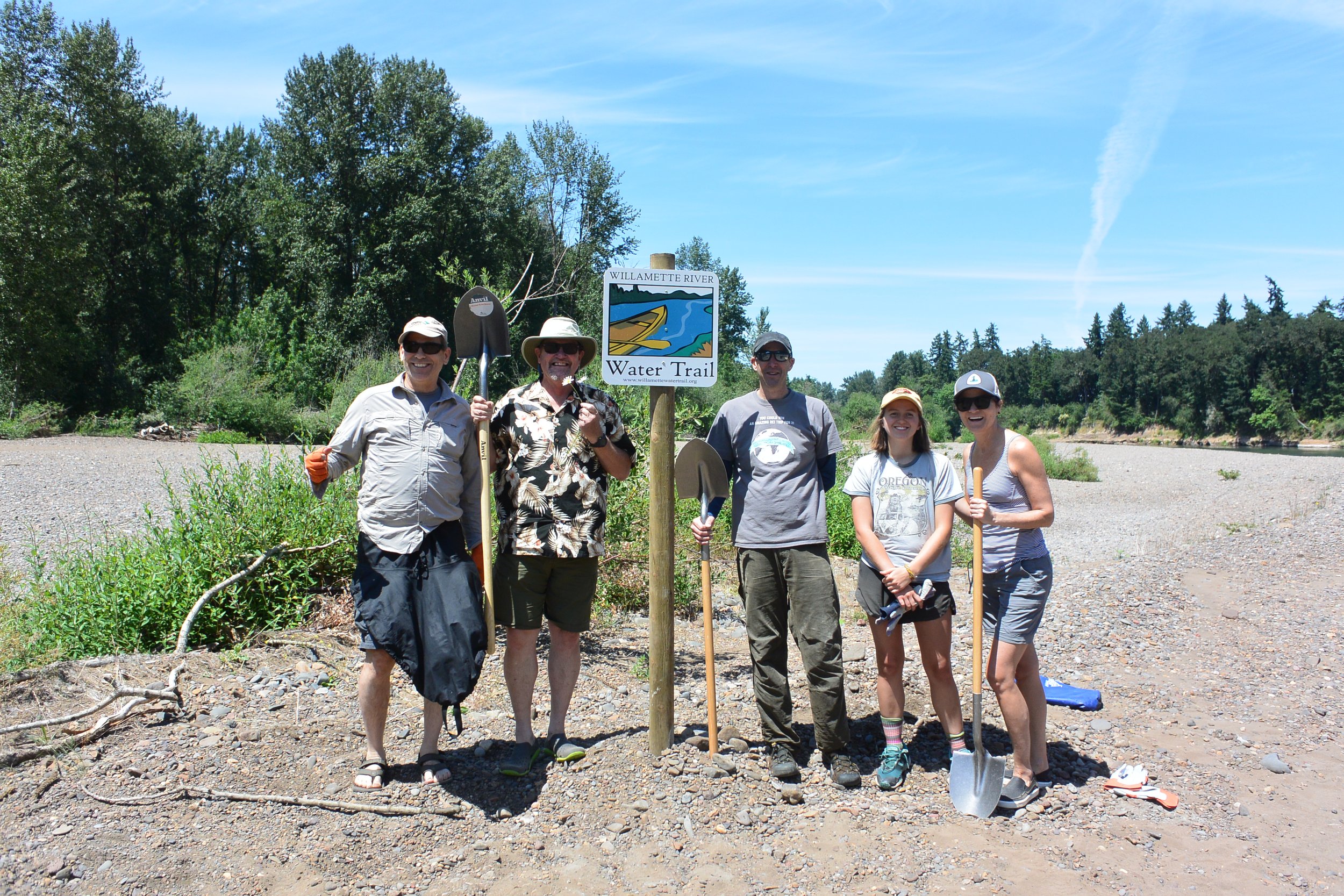
Cleanup efforts are happening along seven miles of urban waterfront - pick your favorite segment and work by land or by water!

ABOUT WILLAMETTE RIVERKEEPER
Our mission, History, Staff, and Board

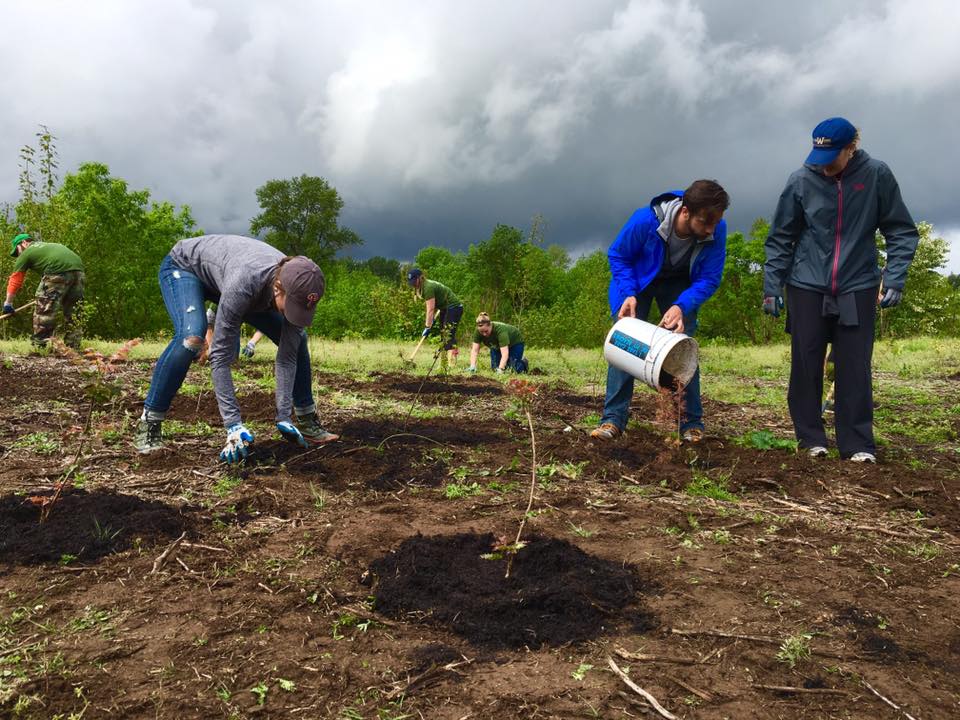
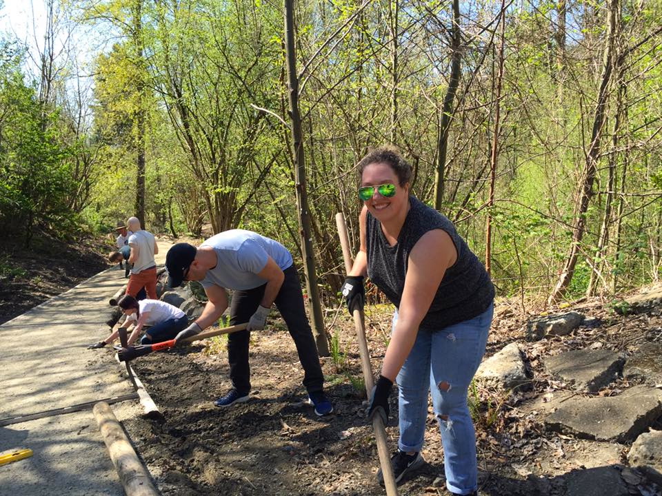
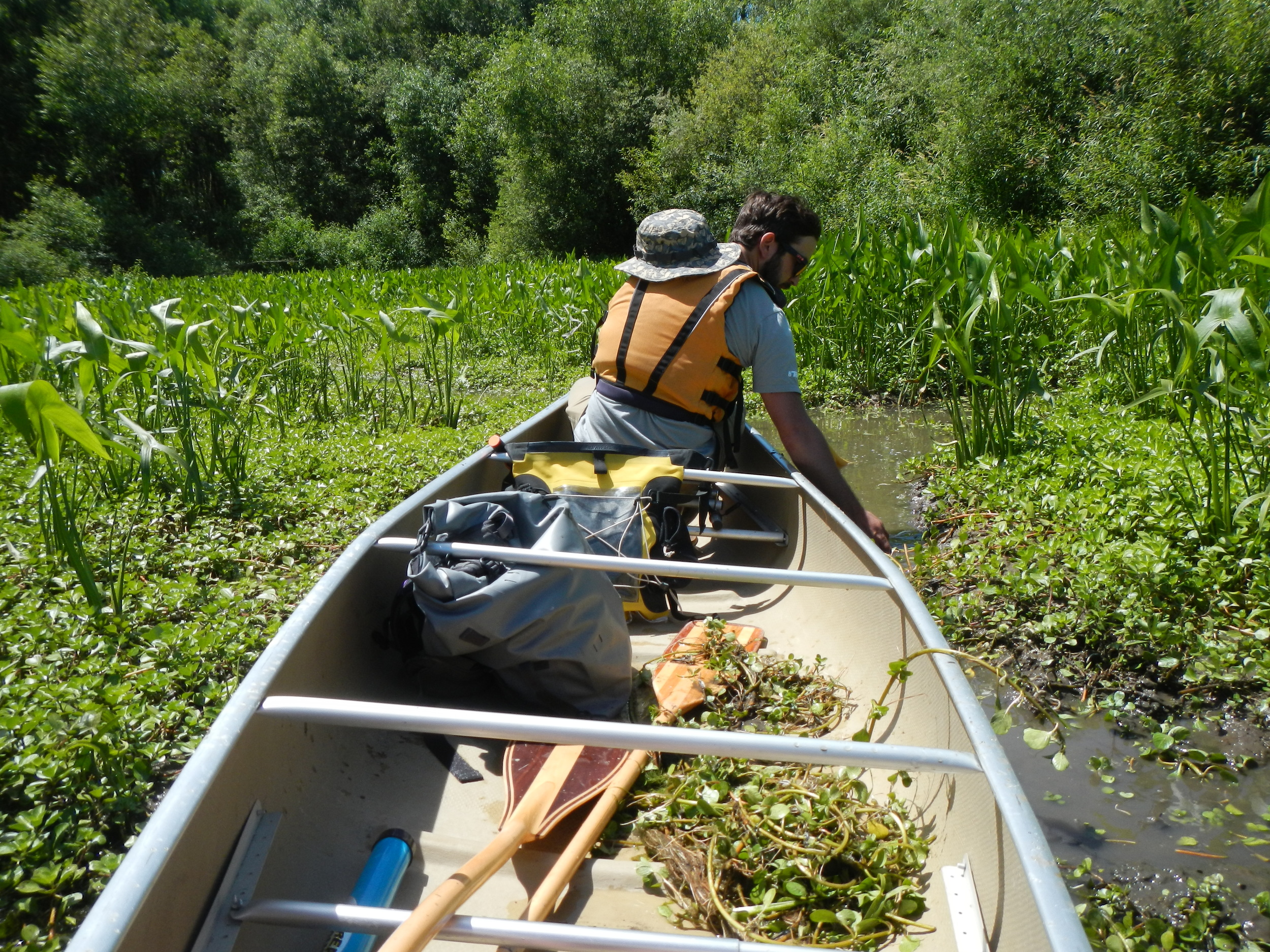
PROGRAMS / VOLUNTEER
Learn more about how we work to for your river every day through advocacy, education and outreach.

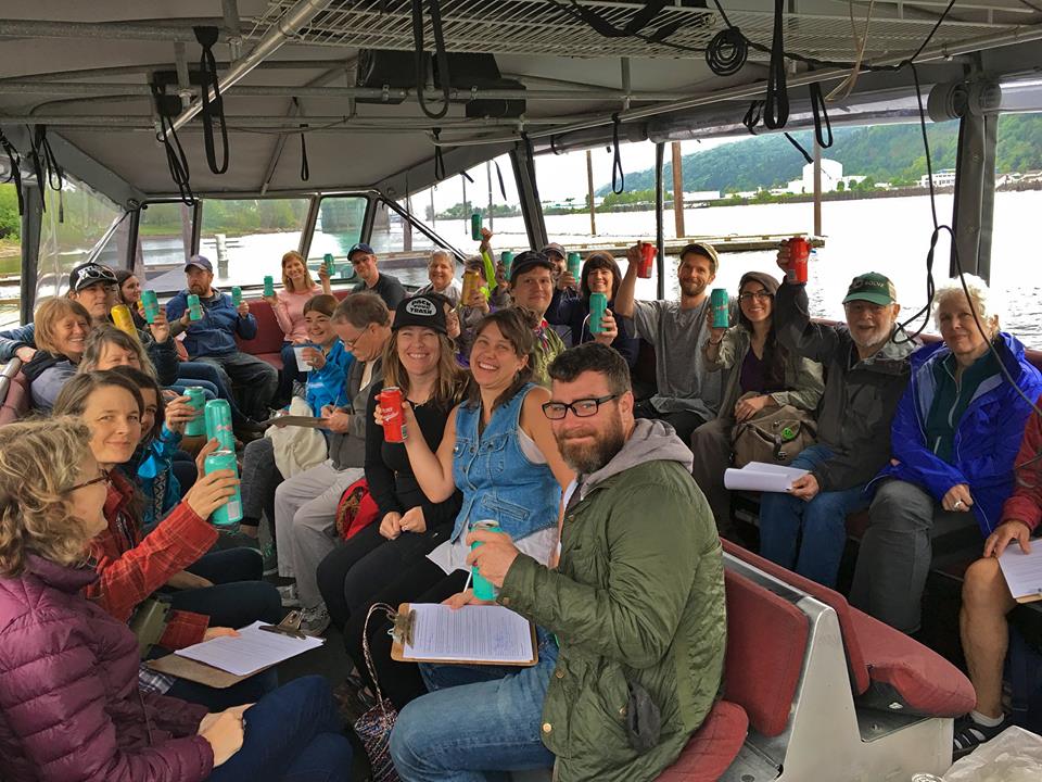
EVENTS
Keep up to date on what is happening and how you can get involved through one of our many events!

SUPPORT
Learn all the different ways you can support the work and mission of Willamette Riverkeeper!
We are all River Guardians!
BOOK RELEASE:
WILLAMETTE RIVER GREENWAYS, BY TRAVIS WILLIAMS
Available for purchase at Oregon State University Press.